The Upper O of Double O Arch, Devil's Garden Trail, Arches National Park, Moab, Utah
Trailhead: Devil's Garden Trail
Location: Arches National Park, Moab, Utah
Features: Arches, Rock Fins, Hoodoos and Other Rock Formations
This is a very fun hike, with amazing desert scenery starting from Devil's Garden trailhead. The Devil's Garden Trail, a 7.2 mile trail, contains the largest concentration of significant natural arches in the world. The first mile is on well maintained and easy to find trail, that leads to the popular stop in Devil's Garden trail, the Landscape Arch.
Landscape Arch ( can be seen after 0.9 mile from Devil's Garden trailhead)
Landscape Arch is the longest natural arch in the world, having a span length of 290 ft, yet having only 6 ft of thickness in its thinnest section. After the Landscape Arch, the trail is no longer well defined, but that's when more fun began! :) It became more fun for us guessing where the trail is :) since most sections of the trail are on rock fins.
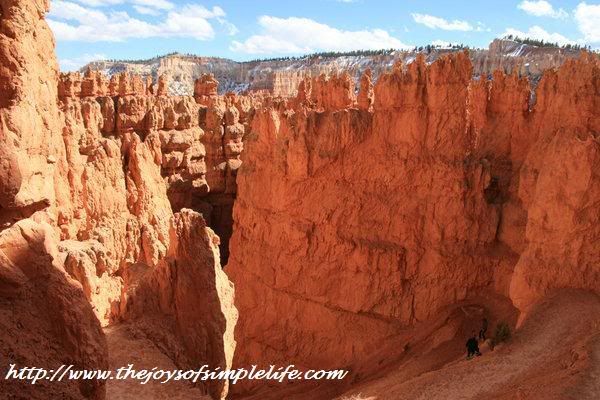
Devil's Garden Trail, Arches National Park
Some sections of the trail requires some scrambling over rocks, but is rewarded by some of the best views I have seen in my many hikes.
Fun Rock Scrambling
The View from the Rock Fin Trail
There are some exposure to heights while walking on the rock fin, but it is pretty safe hike because the fin is wide and more level. However, because the fins are basically vertical slabs or rocks, the exposure to heights on both sides could still cause uneasiness to those who have fear of heights. When we were here, there was a couple where the lady was trembling, her partner had to guide her all the way to the end of the rock fin trail.
Me, on top of Rock Fin ( could you see the black arch in the far front? )
There was a point in our hike that it became too windy, that walking on the fin felt unsafe. I grabbed the moment to sit down and simply enjoy the scenery.
No, He is not Daredevil, he was on the same Rock Fin trail we were on. I wanted to have picture there, but he was enjoying the views around him there for a very long time ( I could not blame him). I decided instead to take picture of him, then, moved on to complete the hike.
Un-named Rock Hoodoo( what do you see?)
Most of the hike is on rocky footing over sandstone slabs and slick rock with narrow ledges. There is stunning vista everywhere you look from the trail that not even seeing the arches is so worth it, but of course, the arches are added bonus.
Double O Arch from the Trail
The sight of Double O Arch from the trail was not that very impressive, after having seen the other arches in the park which are easier to hike such as Delicate Arch and the Windows. However, hubby tried to go at the other side of the O, and these are what he got.
Double O Arch At the Other Side
( that's me at the lower O, trying my hardest to scramble past the lower O to join hubby who was photographing the sceneries around)
Me, still stranded at the Lower O
I gave up and decided to pose instead there at the Lower O, had I known this is what I will see, I would have probably tried harder to scramble past that lower O to get to hubby's location. Sometimes, my fear of skidding on rocks stops me from exploring :(
Arches National Park is a landscape of change, what is here now, may no longer be here tomorrow. The arches, hoodoos, vertical slabs, rock fins were all part of massive sandstone but overtime, the solid sandstone cracked due to stress. Then, water entered the cracks making them bigger. The fins and arches remained which are continually polished and shaped by wind and water.
The best time to hike this trail is late fall to early spring, since the trail is mostly exposed. The temperature when we hiked here Thanksgiving 2010 was 30 - 40F ( 0- 5 C). Hiking at an almost freezing temperature for us is perfect compared to hiking in exposed summer heat. Truth is, we were here summer of 2007, the temperature was 90s F ( 32 C), but we hardly explored because we could not take hiking in the heat. We decided to go back when it was cold and freezing, but for desert hiking, a colder temperature is a lot more tolerable for us, with an added bonus: very few people in the trail.


